The Hessie trailhead is a popular starting point for hiking in Colorado, with trails that head into the Indian Peaks Wilderness. It’s common to see a sign that says “Hessie Parking Lot Full. Use Shuttle.” The shuttle service is excellent. It’s provided free by the county because parking is limited and they want the tourism. You can even bring your dog on the shuttle! Park at the Nederland High School, and the shuttle will come by every fifteen minutes between 8 AM and 8 PM. Don’t take my word, though; do an online search first if you’re considering this option.
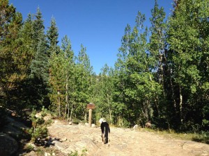
 We got there around 7 AM in early September, so I decided to drive up to the trailhead. We parked on the road in the designated area, and started walking in what seemed to be the correct direction. The trek to the trailhead seemed to be a watery 4×4 road with a nice walking path to the side. At the Hessie trailhead, directions tell you that it’s about one mile to the next junction of trailheads. This mile is mostly an unshaded climb on a rocky “fire road.” Once you get past that part, though, things get nice.
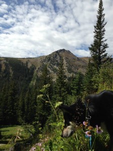
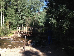
So, after the mile climb up the rocky path, we came to another set of signs. I was a little confused as to whether we ought to take the Devil’s Thumb Bypass trail, the Devil’s Thumb Lake trail, or the Devil’s Thumb Pass trail, or just the Devil’s Thumb Trail. I chose the latter. Whatever trail it was, it took us through some nice woods with wildflowers. There was a quaint bridge near the beginning of the hike.
 Even though I didn’t know what trail we were on, I was thankful for the small “trail” signs along the way with arrows showing me which way to go. This is great for someone like me who often finds themselves de-trailed.
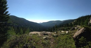
There were some beautiful vistas on the way up. And down, too. If you don’t take two minutes to veer off at an overlook, you’re missing out. I’m not sure how the sky gets bluer than blue, but it does. It’s like superblue.
 When we got to the lake, I was a little sad to see how far the water level had gone down. I think we were at Devil’s Thumb Lake, but I’m not entirely sure. Either way, the small ponds along the journey were prettier than the dried out lake we reached at our turn-around point.
All in all, it was a good hike. We went on a weekend, and I was concerned about crowds, but at the higher elevations that wasn’t a problem. Down near the bottom, yeah, there were a lot of families moving slowly, and some were sneering at my dog. They couldn’t see his invisible leash. But once you got up a ways, the crowds thinned out and the people got nicer. You could say they were “elevated.”
Getting There:
If you want to take the shuttle, search for Nederland Middle-Senior High School in your navigation system. If you want to risk looking for parking near the Hessie trailhead, from Nederland, follow Hwy 72 south for a half mile. Turn right on County Road 130. You’ll see a sign for Eldora Ski Resort at this junction. Stay to the right (don’t go up to where the ski hill is on the left) and continue on Highway 130. It will turn into a dirt road. At the end of the four mile dirt road, you might find parking. If you have a 4×4 vehicle, you can take the bumpy road ahead to the trailhead. But the walk from the two wheel drive area isn’t bad. You can also use these GPS coordinates to find the Hessie trailhead:
39 57.278, -105 36.192
Yes, your dog is supposed to be kept on a leash.
Yes, small streams and lakes.
Yes.
2129′

