 July 2015
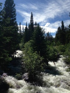
The Buchanan Pass Trail is in the Indian Peaks Wilderness in an area called Peaceful Valley. We loved this trail because of the beautiful creek, falls, and trees. It’s an out-and-back hike with variability. The three main options are to hike 3.8 miles out-and-back, hike to Red Deer Lake, or hike the length of the pass, which is 9.1 miles. We did the 3.8 mile out-and-back, for a total of 7.7 miles of wilderness joy.
The first part of the hike has little elevation gain. After about two miles, you hike upwards to get a fantastic view of Timberline Falls. There are some large boulders to scramble around on, too, and small trails down to the water.
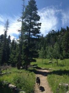
The trail continues on through Aspen and Pine forests, marshes, and fields. At a view of Sawtooth Mountain, we meandered back the way we came. It was a lovely day hike, but it also would be a great part of a longer, over night backpacking excursion.
 Getting There:
I recommend using a maps app and navigating to the GPS coordinates 40 07.797, -105 31.451 (See Hiking With Dogs.) Basically, find your way to the Camp Dick Campground. From Nederland, this means taking CO-72 W (which is actually heading north here) for 17.3 miles. Watch for signs for Camp Dick Campground. Turn left onto Middle St. Vrain Road toward the campground.
If you’re coming from Lyons, follow Hwy 7 W for 14.2 miles, then 72 E for 4.1 miles, and then follow signs to Camp Dick Campground, turning right onto Middle St. Vrain Road.
When you get to the campground, keep going through it. Go all the way through. There is a parking lot for hikers at the far end. Be careful not to park in a campground space!
Leash law?
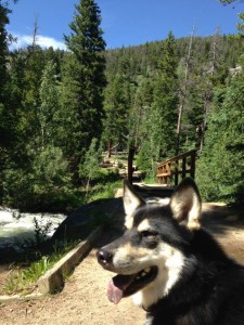
Yes, your dog is supposed to be kept on a leash.
Yes, a healthy creek, waterfalls, and optional offshoots to lakes.
Yes.
About 900′ for the section we did.
